
World GIS Day is celebrated on November 18 this year under the theme “GIS: Powering Purpose and Innovation,”
Article by Arup Kumar Das, Assistant Director, Geo-Spatial Technology & Application Division, Aaranyak
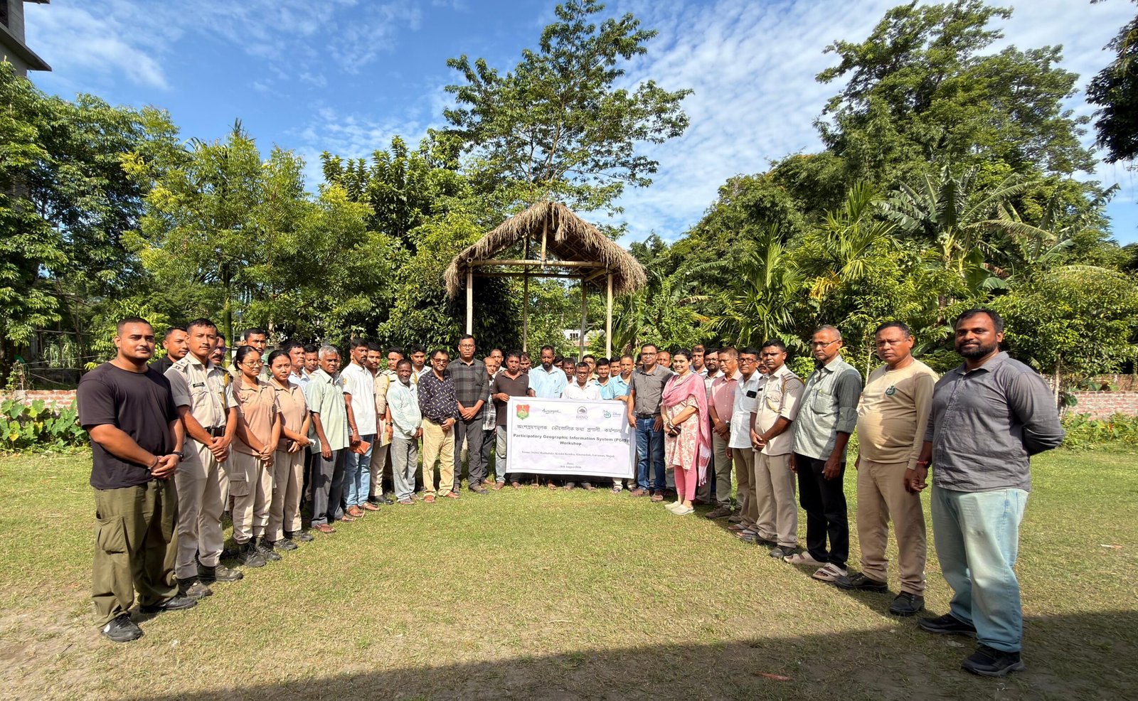
Participatory Geographic Information System (PGIS) is helping bring science and local wisdom together. By combining satellite image-based GIS mapping with the daily experiences and views of local communities, PGIS turns everyday citizens into active mapmakers.
The nearly 200-kilometre river stretch – from Orang National Park and Tiger Reserve, through Laokhowa-Burhachapori Wildlife Sanctuary, Kaziranga National Park and Tiger Reserve (KNP&TR), up to Majuli riverine landscape and fringe areas – is one of the most changing and important landscapes to study through PGIS.
With its river sandbars (chaporis) and tall grasslands, this belt gives vital food and seasonal travel routes to one-horned rhinos, Royal Bengal tigers, Asian elephants, wild water buffaloes, and many other animals, helping keep wildlife populations healthy across the region.
Local communities living along the forest fringes and riverbanks of the Brahmaputra have known the seasonal trails, waterholes, and movement routes used by wild animals. This deep local knowledge is very helpful in making practical conservation maps.
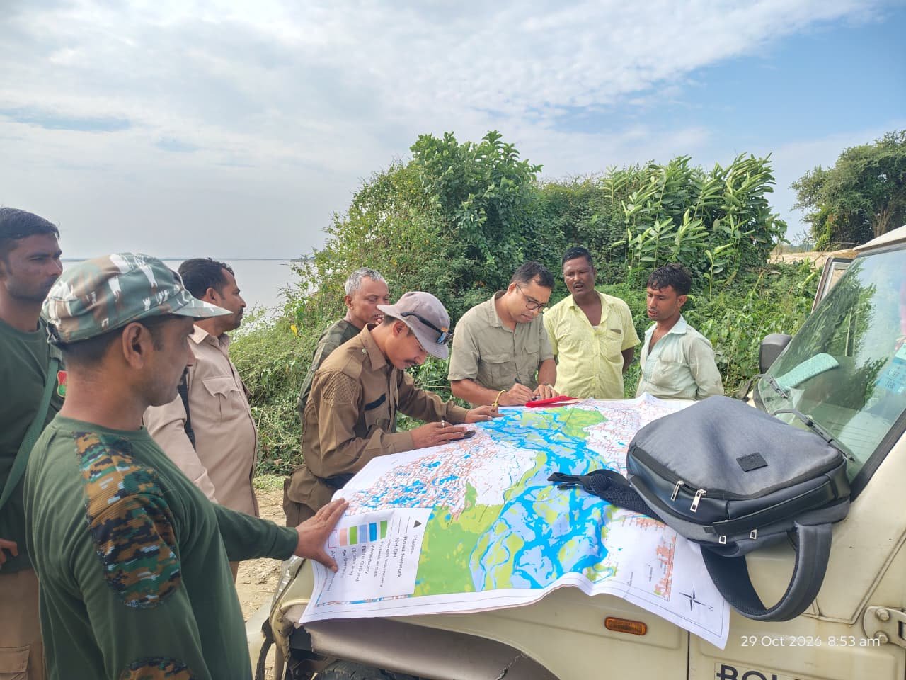
Through simple, hands-on mapping workshops, frontline forest staff, Eco-Development Committee (EDC) members, Village Defense Party (VDP) representatives, and local villagers work together in groups. Using colored pens on chart papers alongside digital maps, they mark animal signs, crop raids, old wildlife trails, seasonal movement areas, and nearby village names. This group activity gives local communities a strong sense of ownership over the PGIS mapping work.
At the same time, field verification of PGIS data is equally important for scientific validation. After community workshops, researchers and forest teams visit the marked locations on the ground using GPS tools for validations. Combining community insights with ground-truthing ensures the final maps are both locally accurate and scientifically reliable for policy decisions and real conservation succeeds when science listens to local people.
The Assam government’s recent expansion of protected areas—especially the additions to Orang, Burhachapori, and Kaziranga – shows just how important this river corridor is. Using PGIS – backed by proper field validation – across the entire stretch up to Majuli can strengthen wildlife protection through peaceful coexistence, supported by local communities.