Lets Work Together
Want to Get involved with Aaranyak? There are many ways you can contribute. To know more
Geo-spatial Technology and Application Division (GTAD)
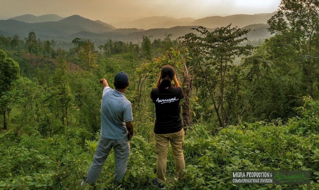
In view of the increasing importance and applications of Remote Sensing, GIS & GPS technology in environmental research, landscape planning, Capacity building and decision-making in conservation and management of forest and wildlife. Aaranyak working in the area of biodiversity conservation have started the use of geospatial technology since 2004 with the inclusion of Geo-spatial Technology and Application Division (GTAD).
The major objectives of the division are
Create a complete biodiversity related GIS database for the entire North East India.
Mapping and monitoring of different landscapes of North East India.
Mapping and habitat suitability analysis of different endangered species of Assam and North East India.
To give necessary support through maps and other geo-related information to the concerned authorities of state Governments of Assam and other states of North East India.
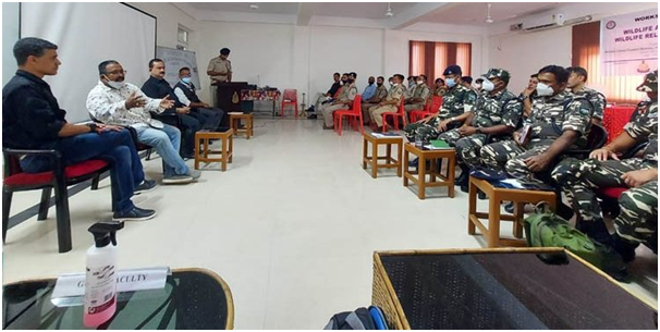
To make people aware about the technology of Remote Sensing, GIS and GPS application through training and capacity building.
GTAD has been continuously supporting to various State Forest Departments of North East India, NGOs, Educational institutions and Forest Academy by providing GIS maps, technical assistance, assisting in animal census, GPS hands on training to frontline staff and capacity building to the students and faculties of colleges and Universities and officials of different departments.
Staff of GTAD
- Arup Kumar Das
- Madhumita Borthakur
- Avishek Sarkar
Facilities at GIS lab of Aaranyak

At present the GIS lab has following facilities
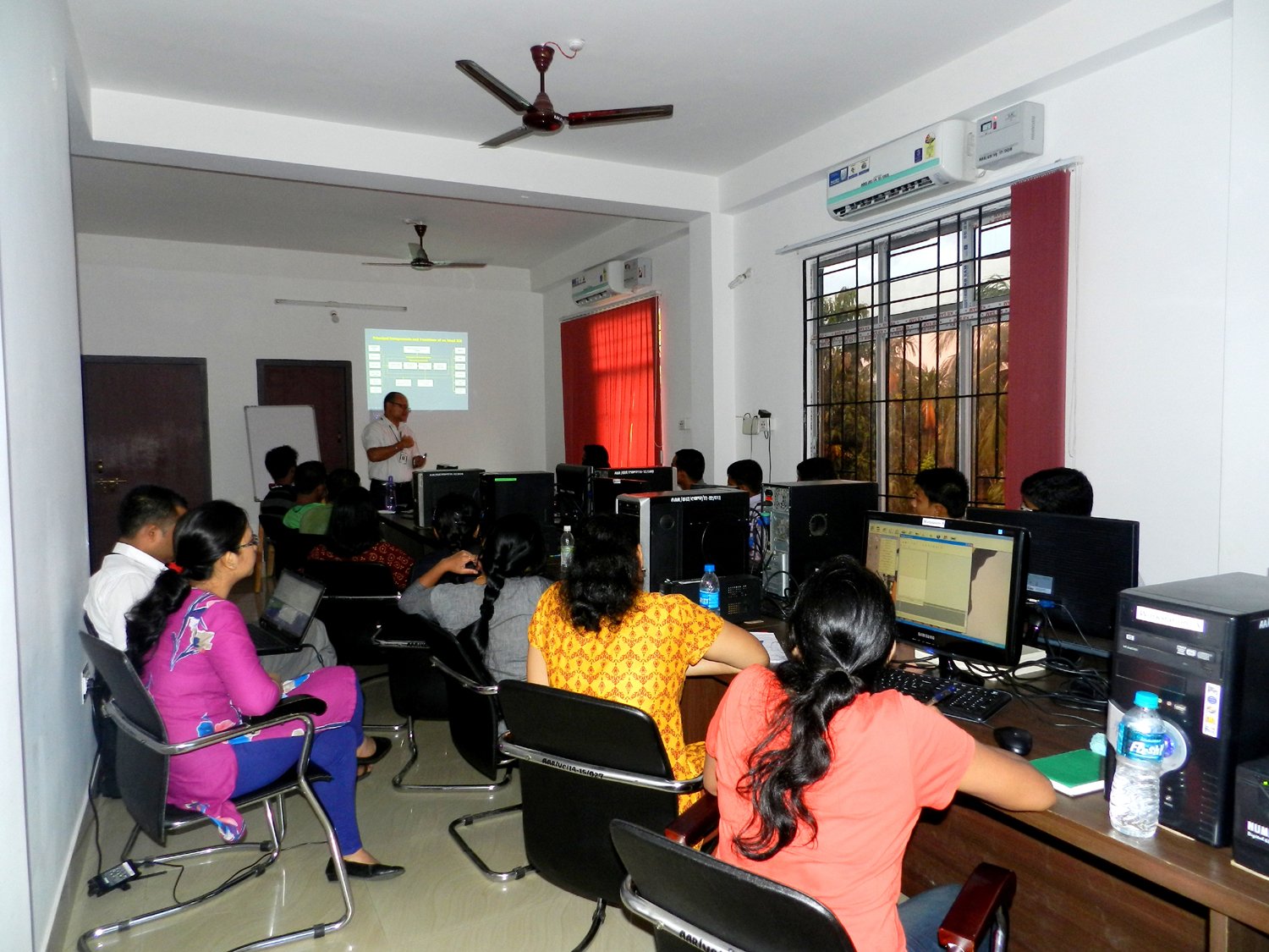
Nine high configuration Desktop computers.
Garmin GPS sets of model 60 & 64s.
HP designjet 500, 36 inch colour plotter for large size map printing.
GIS lab uses software’s of ERDAS, Arc GIS, SNAP, Google Earth Pro, Google Earth Engine, QGIS, Photoshop, GPS base camp.
RS/GIS short course training programme
GTAD since its inception from Dec 2004 has organized 24 one-week training on the Application of Remote Sensing, GIS and GPS. It is a regular course, which is highly popular and successful, is organized twice a year during January and July.
Support to University students
GTAD has provided continuous support to the reputed Indian University students in their Masters Dissertation work and during the PhD work. Such as Assam University, Gauhati University, Tezpur University, Nagaland University, North Orissa University, Symbiosis Pune, Amity University Noida, TERI, Tata Institute of Social Science Guwahati.
Support to Forest Department
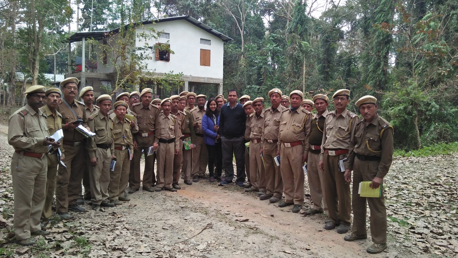
Provided maps to the Forest dept. of Amchang Wildlife Sanctuary, Assam.
Provided maps to the Forest dept. of Manas National Park, Assam.
Provided maps to the Forest dept. of Golaghat forest division, Assam.
Provided maps to the Forest dept. of Kaziranga National Park, Assam.
Provided maps to the Forest dept. of Pobitora Wildlife Sanctuary, Assam.
Provided Land cover map of Gibbon Wildlife Sanctuary to PCCF Office, Guwahati, Assam.
Provided maps to the Wildlife Forest dept. of Dehing Patkai Wildlife Sanctuary, Assam.
Provided maps to the Wildlife Forest dept. of Chirang-Ripu Reserve Forest, Assam.
Providing maps to the Wildlife Forest dept. of Norphu Wildlife Sanctuary, Meghalaya.
Prepared Guwahati state zoo master plan map using GPS for Guwahati state zoo, Assam.
Provided maps to the Wildlife Forest dept. Sibsagar district for Tiger census, Assam.
Supported the Assam Forest Department by preparing maps of proposed Wildlife Sanctuaries (WLS) of Assam such as Doomdooma Dangori Wood Duck WLS, Kundil Kalia Conservation Reserve, Luit-Dolphin Sanctuary, Sadiya Gibbon Sanctuary and Jokai Slow Loris WLS.
Guest faculty by the staff of GTAD
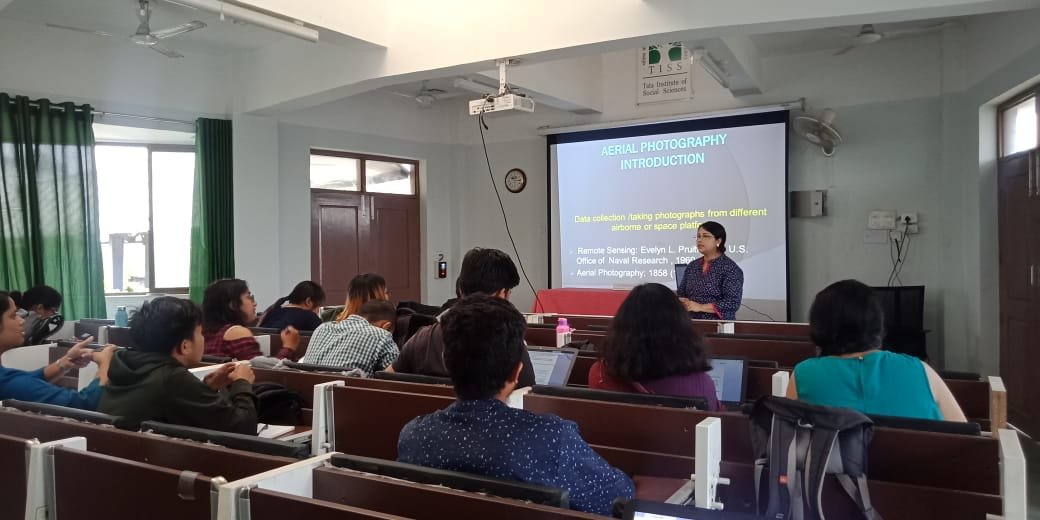
Staff of GTAD worked as guest faculty in the department of Ecology, Environment and Sustainable Developmentat Tata Institute of Social Sciences Guwahati on GPS, GIS & Remote Sensing paper for 2nd Semester in 2020.
Arup Kumar Das Manager GTAD worked as guest faculty in the department of Environment Biology & Wildlife Sciences at Cotton University on the GPS, GIS & Remote Sensing paper for 4th Semester batch of 2018-2019.
Arup Kumar Das Manager & Staff of GTAD worked as guest faculty in the department of Ecology, Environment and Sustainable Developmentat Tata Institute of Social Sciences Guwahati on GPS, GIS & Remote Sensing paper for 2nd Semester in 2019.
Arup Kumar Das Manager GTAD worked as guest faculty at Central Academy of State Forest Service, Burnihat for FRO & ACF batch in 2018. Moreover, in 2019, he is assisting the academy as guest faculty for the new batch of Forest Range Officers (FRO) batch.
Thrust areas of GTAD
The primary work of this Division is to support other divisions of Aaranyak by providing spatial and non-spatial database and Analysis, GPS based surveying and applying RS-GIS-GPS techniques in a range of environmental appraisals such as detection and analysis of change in wildlife habitat, other critical ecosystems and animal connectivity corridor modelling and studies in urban biodiversity, Wetland and river basin, human-wildlife conflictand Land use and Land Cover change analysis etc.
For more information about GTAD, please contact
Arup Kumar Das, M.Phil, Manager Geospatial Technology and Application Division (GTAD)
Email Id: arup.aaranyak@gmail.com, arup@aaranyak.org, gtadaaranyak@gmail.com
Contact no. 7577836104 (Arup Kumar Das)